
Cyclone Tracking Homepage
Viewing the latest information and products on
As of 20:30 UTC on May 19th, Cyclone Ialy was located near 6.9°S, 44.7°E, or approximately 346 miles (558 km) north-northeast of Moroni, Comoros. Ialy has maximum sustained winds of 60 knots and a minimum central pressure of 989 millibars.
Ialy currently lies over sea surface temperatures of around 28.5°C (83.3°F).ATCF®
 View more imageryAnimated GIF
 View more precip productsAnimated GIF
 View more radar productsAnimated GIF
 View more SST products
 View more surface plot products
 Visit the Météo France website
 Visit the JTWC website
As of 20:30 UTC on May 19th, Cyclone 25S was located near 2.2°S, 75.4°E, or approximately 409 miles (658 km) north-northeast of Diego Garcia. 25S has maximum sustained winds of 37 knots and a minimum central pressure of 1001 millibars.
25S currently lies over sea surface temperatures of around 30.5°C (86.9°F).ATCF®
 View more imageryAnimated GIF
 View more precip productsAnimated GIF
 View more radar productsAnimated GIF
 View more SST products
 View more surface plot products
 Visit the JTWC website
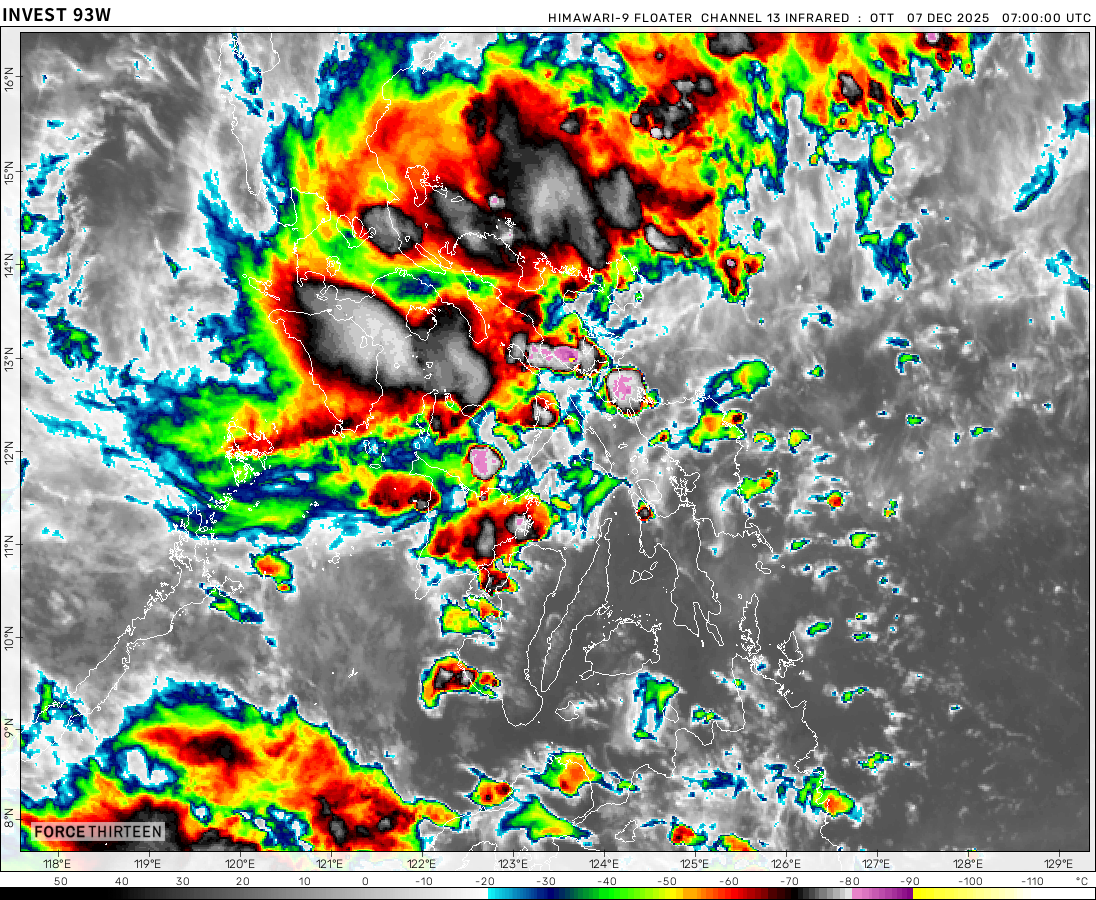
As of 20:30 UTC on May 19th, Invest 93W was located near 4.3°N, 143.2°E, or approximately 502 miles (808 km) southeast of Yap, Micronesia. 93W has maximum sustained winds of 15 knots and a minimum central pressure of 1005 millibars.
93W currently lies over sea surface temperatures of around 30°C (86°F).ATCF®
 View more imagery
 View more precip productsAnimated GIF
 View more radar products
 View more SST products
 View more surface plot products
Remal could form & make landfall in Odisha as a cat 2
It looks impressive on satellite and we all know its gonna be a very interesting system
extreme thunderstorms for my area hurricane force windgusts
OH NO ITS CLONE RIGGY (Fabien)
what is going on with the sst?!?!?!?
AYO!!!!!! Fabien 2.0?
yooooo the sequel better be good
Tracking 92W on Zoom Earth!
can tropical storms form inland and move out to the sea
Yes.
Hurricane Barry 2019https://en.wikipedia.org/wiki/Hurricane_Barry_(2019)
This tornado touched down near my house yesterday.
It’s false, I know this photo. It is in a 2019 book.
I meant a tornado similar to this one did
Ok excuse me
Hidaya is looking like its rain might be a threat to the southern coast of tanzania the icon model shows very little if any rain from Hidaya while the gfs predicts a landfall and the emcwf looks like it predicts a wind gusts on the coast are gonna be 40 mph to 50mph without a land fall and heavy rain very interesting…
Is that photo using radar that indicates wind? I just can’t wait for the 2024 Atlantic hurricane season to start. I heard it would be crazy, plenty of cities have a much larger chance of being hit.
noooo