Anika Expected to Reform, Impact Sparsely Populated Western Australia
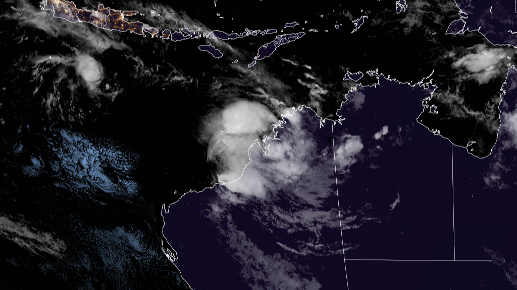
Ex-Tropical Cyclone Anika over the weekend has caused minimal damage to the sparsely populated northern Western Australia. But the storm is forecast to redevelop off the West Kimberley coast later Tuesday, intensify to a Category 3 severe tropical cyclone in the Australian scale, before making landfall to the east Pilbara or west Kimberley coast late Wednesday or Thursday.
On the latest advisory by the Bureau of Meteorology released at 8pm AWST, Ex-Anika has sustained winds of 65 kph with gusts up to 95 kph. It was last located 280 kilometers northeast of Broome. The ex-storm is moving southwest at a speed of 10 kph.
Current watches & warnings:
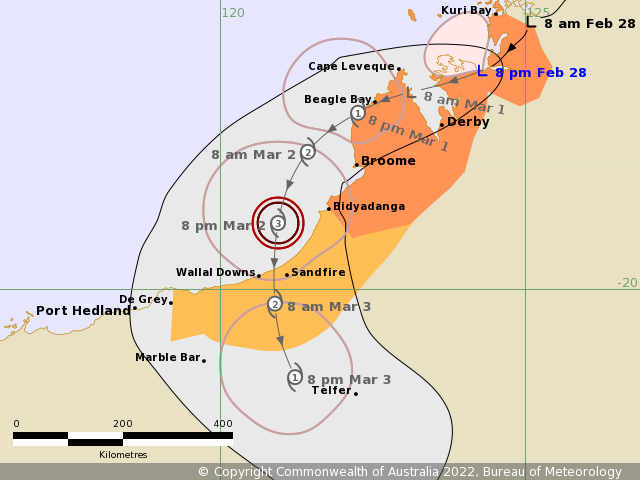
Cyclone warnings are in effect from Kuri Bay to Bidyadanga, including Cape Leveque, Derby and Broome, while cyclone watches are in effect from Bidyadanga to De Grey.
BoM warns people of dangers to be brought by the storm along the Kimberley coast. Damaging winds that could reach 130 kph are possible across the west coast of the Dampier Peninsula, including Cape Leveque and Beagle Bay overnight Tuesday night or Wednesday.
Stronger winds with gusts to 150 kph are expected between Broome and De Grey later Wednesday as the tropical cyclone nears the coast.
Heavy rainfall brought by the storm is also also expected along the Kimberley Coast and eastern Pilbara.
For the latest updates, check out our regional branch in Australia on their Twitter and YouTube.
