Mesoscale satellite loops on Tropical Storm Beryl are available here.

Cyclone Tracking Homepage
Viewing the latest information and products on


As of 12:31 UTC on July 6th, Tropical Storm Beryl was located near 22.6°N, 91.9°W, or approximately 170 miles (273 km) west-northwest of Progreso, Mexico. Beryl has maximum sustained winds of 50 knots and a minimum central pressure of 999 millibars.
Beryl currently lies over sea surface temperatures of around 28.5°C (83.3°F).ATCF®
 View more imageryAnimated GIF
 View more precip productsAnimated GIF
 View more radar productsAnimated GIF
 View more SST products
 View more wind shear productsAnimated GIF
 View more surface plot products
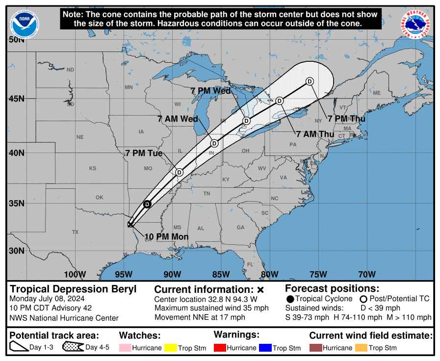 Visit the NHC website
Hurricane Beryl may not be strengthening over land, but it is definitely organizing more. This could lead to more strengthening in the gulf.
I just can’t believe that Beryl became a Category 5, this is just a warning for what is to come.
Also, WTF happened to 96L?
i hope that we wont have another Harvey
Knowing Beryl, it probably will do the unthinkable. Windy.com predicts at least cat 3
Beryl trying to keep the deep convective core going and reforming an eye, which is worrisome
Force Thirteen UPDATED the icons! Do you see extra arcs on the C4 icon?
Also do you think they should put rapid intensification when they do the 2024 Atlantic Hurricane Season Animation or the track of Hurricane Beryl*
*If they do it
It resembles the outer rainbands of storms, which is a cool tiny detail
They should totally do rapid intensification.
I can not believe that Hurricane Beryl is a Cat 5, it defied all expectations and is a historic hurricane.