Mesoscale satellite loops on Hurricane Beryl are available here.
Cyclone Tracking Homepage
Viewing the latest information and products on
As of 11:45 UTC on July 2nd, Invest 96L was located near 11.0°N, 46.8°W, or approximately 565 miles (909 km) northeast of Cayenne, French Guiana. 96L has maximum sustained winds of 25 knots and a minimum central pressure of 1012 millibars.
96L currently lies over sea surface temperatures of around 27°C (80.6°F).ATCF®
 View more imageryAnimated GIF
 View more precip productsAnimated GIF
 View more radar products
 View more SST products
 View more wind shear productsAnimated GIF
 View more surface plot products


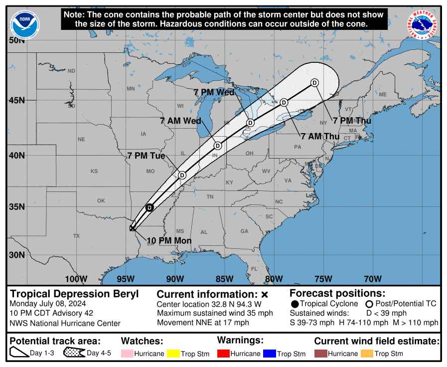
I can not believe that Hurricane Beryl is a Cat 5, it defied all expectations and is a historic hurricane.