Mesoscale satellite loops on Hurricane Beryl are available here.

Products and Tools Homepage
Near Real-time Satellite Imagery Daily Sea Surface Temperatures Base Reflectivity Radar Composites• Surface Weather Observation Plots Hourly Precipitable Accumulation MIMIC Total Precipitable Water Wind Shear Analysis & Wind Barbs
Central Pacific

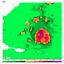
Precip. Accumulation Floaters

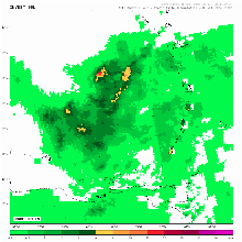
Regional Precip. Accumulation Products
Global North Atlantic
 Eastern Pacific
 Central Pacific
 Western Pacific
 North Indian Ocean
 South-West Indian Ocean
 Australian Region
 South Pacific
 South Atlantic
 Mediterranean Sea
 British Isles
