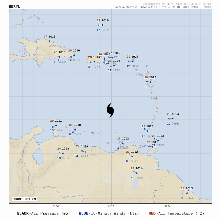
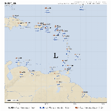
Products and Tools Homepage Mesoscale satellite loops on Hurricane Beryl are available here. Products and Tools Homepage Near Real-time Satellite Imagery Daily Sea Surface Temperatures Base Reflectivity Radar Composites• Surface Weather Observation Plots Hourly Precipitable Accumulation MIMIC Total Precipitable Water Wind Shear Analysis & Wind Barbs Latest Image Animated GIFSurface Plot FloatersBERYLCHRIS96LRegional Surface Plot ProductsComing Soon!